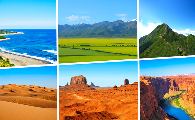
Remote Sensing of Environment is a modern technology used to collect information about the Earth without direct physical contact. It involves the use of satellites, drones, aircraft, and sensors to observe and monitor environmental conditions. Today, remote sensing plays a vital role in agriculture, climate monitoring, disaster management, urban planning, and natural resource conservation. With rapid technological advancement, remote sensing has become an essential tool for scientists, researchers, and governments worldwide.
What is Remote Sensing?
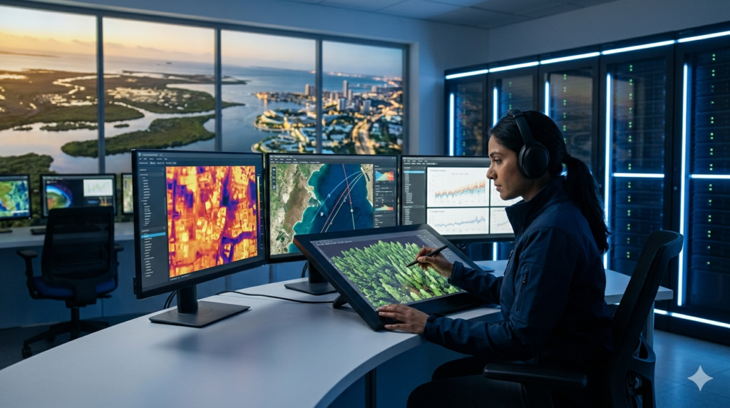
Remote sensing refers to the process of gathering data about objects, land surfaces, or environmental conditions from a distance. Specialized sensors mounted on satellites or aircraft capture images and data from the Earth’s surface. These sensors detect reflected sunlight, heat, and other forms of electromagnetic radiation.
The collected information is then analyzed to understand environmental changes, weather patterns, vegetation health, water resources, and pollution levels. Remote sensing technology helps researchers monitor large areas efficiently and accurately.
Types of Remote Sensing
Remote sensing is mainly divided into two categories:
Active Remote Sensing
Active remote sensing systems emit their own energy toward the Earth and measure the reflected signal. Radar and LiDAR are common examples. These systems work effectively even during cloudy weather or nighttime.
Passive Remote Sensing
Passive remote sensing relies on natural energy sources such as sunlight. Cameras and thermal sensors capture reflected or emitted radiation from the Earth’s surface. Most satellite imaging systems use passive remote sensing techniques.
Importance of Remote Sensing in Environment
Remote sensing has transformed environmental monitoring by providing real-time and accurate data. It allows scientists to study remote and inaccessible regions without physically visiting them.
Climate Change Monitoring
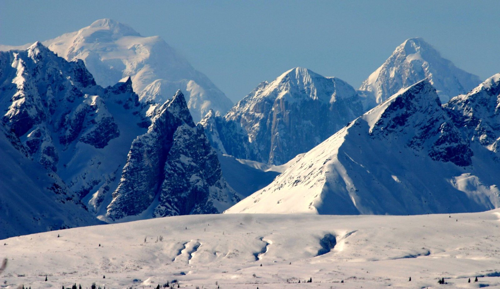
Remote sensing helps monitor global warming, melting glaciers, rising sea levels, and temperature changes. Satellites continuously collect climate-related data, helping scientists understand long-term environmental trends.
Forest and Vegetation Analysis
Satellite imagery is widely used to monitor forests, deforestation, and vegetation health. Governments and environmental agencies use this data to manage forests and protect biodiversity.
Water Resource Management
Remote sensing helps identify water bodies, groundwater availability, and drought-prone areas. It supports efficient water management and irrigation planning.
Disaster Management
Natural disasters such as floods, cyclones, earthquakes, and wildfires can be monitored using remote sensing technology. Early warning systems based on satellite data help reduce damage and save lives.
Applications of Remote Sensing
Remote sensing has numerous applications across different industries and environmental sectors.
Agriculture
Farmers use remote sensing to monitor crop health, soil moisture, and irrigation needs. Precision farming techniques improve agricultural productivity and reduce resource wastage.
Urban Planning
Urban planners use satellite images to study population growth, land use, transportation networks, and infrastructure development. This helps cities grow in a sustainable manner.
Weather Forecasting
Meteorologists rely on remote sensing satellites for weather prediction and storm tracking. Accurate forecasting helps communities prepare for extreme weather conditions.
Ocean and Marine Studies
Ocean temperatures, coral reefs, marine pollution, and fish populations are all studied using remote sensing. It supports marine conservation and sustainable fisheries management.
Advantages of Remote Sensing
Remote sensing offers several benefits in environmental studies and resource management.
- Provides large-scale data collection
- Saves time and operational costs
- Enables continuous environmental monitoring
- Offers accurate and reliable information
- Helps access remote and dangerous areas safely
These advantages make remote sensing an essential technology in scientific research and environmental protection.
Challenges of Remote Sensing
Despite its benefits, remote sensing also faces certain limitations.
- High cost of satellite systems and sensors
- Complex data processing requirements
- Dependence on weather conditions for some sensors
- Need for skilled professionals to interpret data
Continuous technological improvements are helping overcome these challenges and making remote sensing more accessible.
Future Scope of Remote Sensing
The future of remote sensing is highly promising. Artificial intelligence, machine learning, and advanced satellite technologies are improving data accuracy and analysis. Drones and high-resolution imaging systems are making environmental monitoring faster and more efficient.
In the coming years, remote sensing will play a greater role in sustainable development, climate protection, smart agriculture, and disaster risk reduction. Governments and industries are increasingly investing in remote sensing technologies to address global environmental challenges.
Remote Sensing of Environment is a powerful technology that helps monitor and manage the Earth’s natural resources. From climate change analysis to disaster management and agriculture, its applications are vast and highly beneficial. As technology continues to evolve, remote sensing will become even more important in protecting the environment and ensuring sustainable development for future generations.
Andaman and Nicobar Islands Forests
Tours And Travels Website Design
![]()